Carta Marina de la costa sur de España y el norte de África
350.00€
Descripción
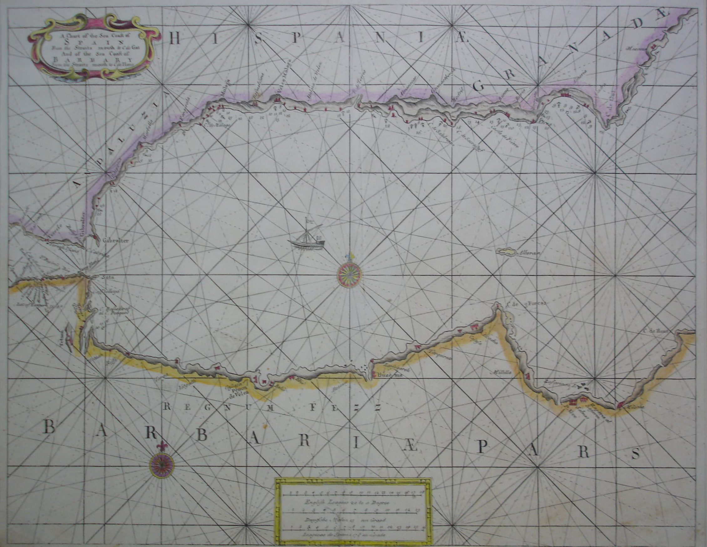
A Chart of the Sea Coasts of Spain from the Straits mouth to the C de Gat and of the Sea Coast of Barbary from the Straits mouth to the C de Home. Printed & Sold by W Mount & P Page in Poster Row Little Tower-hill London. Mapa grabado en plancha de cobre hacia 1740 de Mount and Page. Muchos de su mapas fueron publicado en The English Pilot por John Seller. Mapa coloreado a mano, en buen estado de conservación.
Tamaño del mapa 40,5 x 51,5 cm
Ref 236.12