Carta Náutica de los Puertos de las Islas Hawaii.
20.00€
Descripción
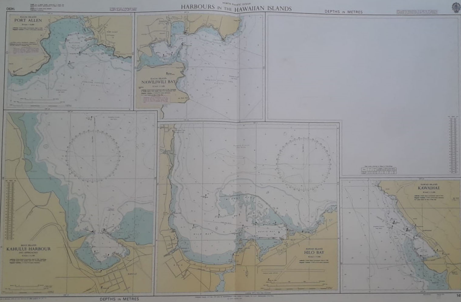
North Pacific Ocean Harbours in the Hawaiian Islands. Published, Taunton 25th September 1970… G. S. Ritchie, Hydrographer of the Navy. Corrections up to 1974. Provenientes de un Sondeo encargado por el Gobierno Estadounidenses en 1969. Con planos inferiores de Kauai Island Port Allen, Kuai Island Nawiliwili Bay, Maui Island Kahului Harbour, Hawaii Island Hilo Bay, Hawaii Island Kawaihae. Marca de doblez por el centro como fue publicado.
Tamaño 71 x 103 cm.
Ref 236.20