
15.00€
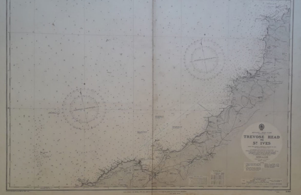
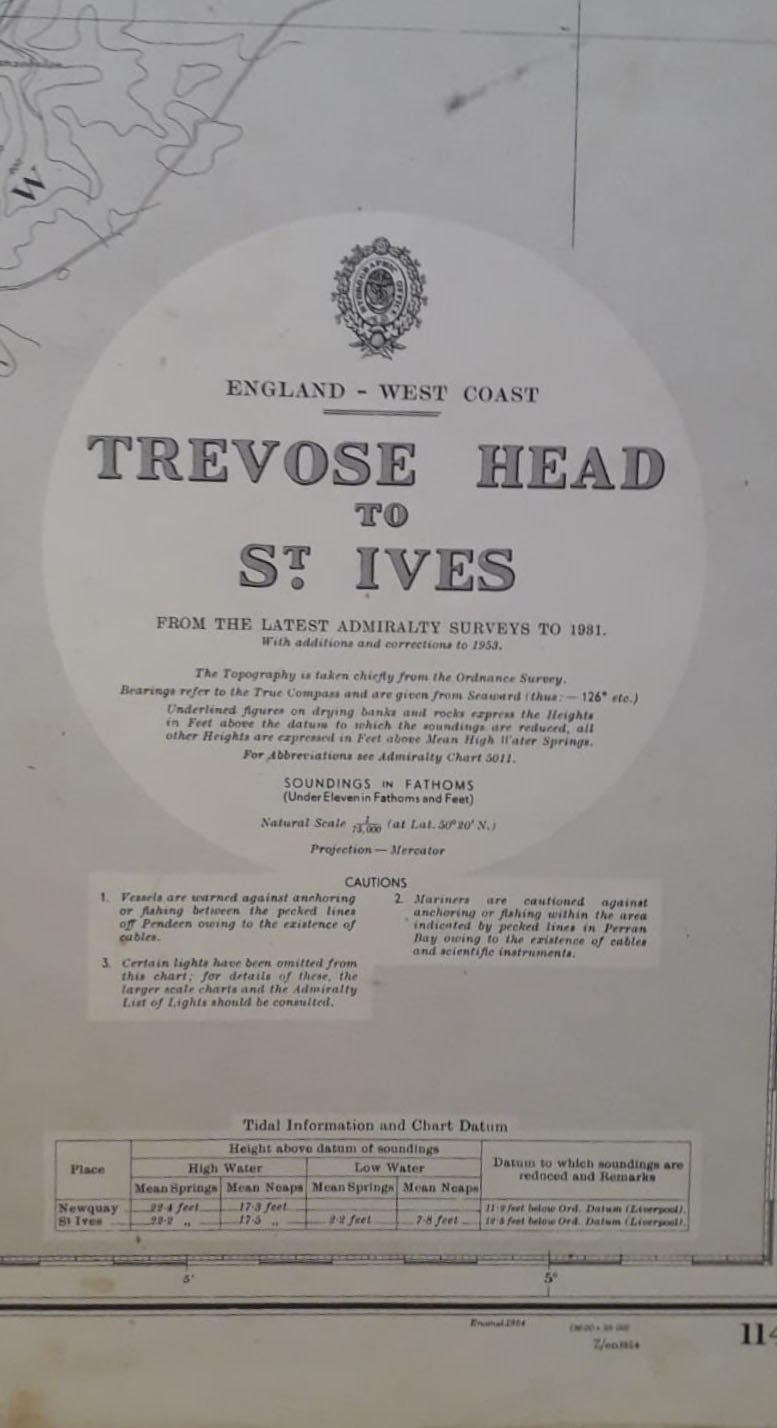
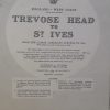
England West Coast. Trevose Head to St. Ives. Published at the Admiralty 26 th February 1954. Corrections up to 1957. Provenientes del Gobieno Britanico. Con marcas de doblez como fue publicado y un pequeño rasguño.
Tamaño 71 x 102 cm.
Ref 236.55