10.00€
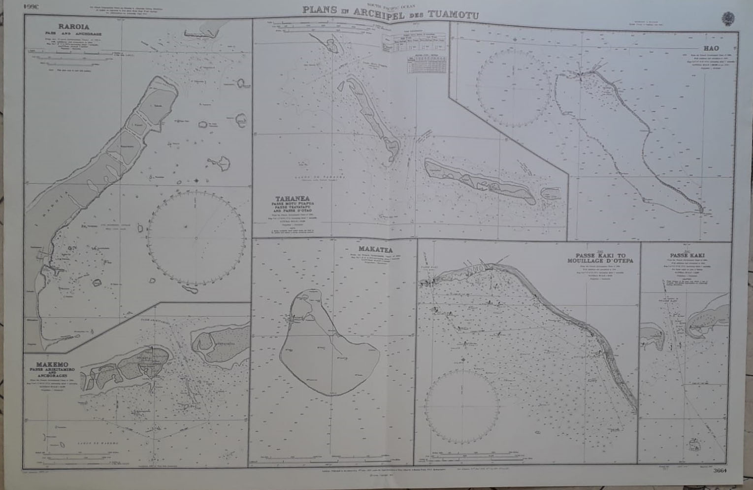
South Pacific Ocean. Plans of Anchoranges in The Archipel des Tuamotu. Published at the Almiralty 9th July 1901. Corrections up to 1974. Provenientes del Gobierno Frances en 1962-78. Con Marca de doblez como fue Publicado.
Tamaño 52 x 70 cm
Ref 236.71