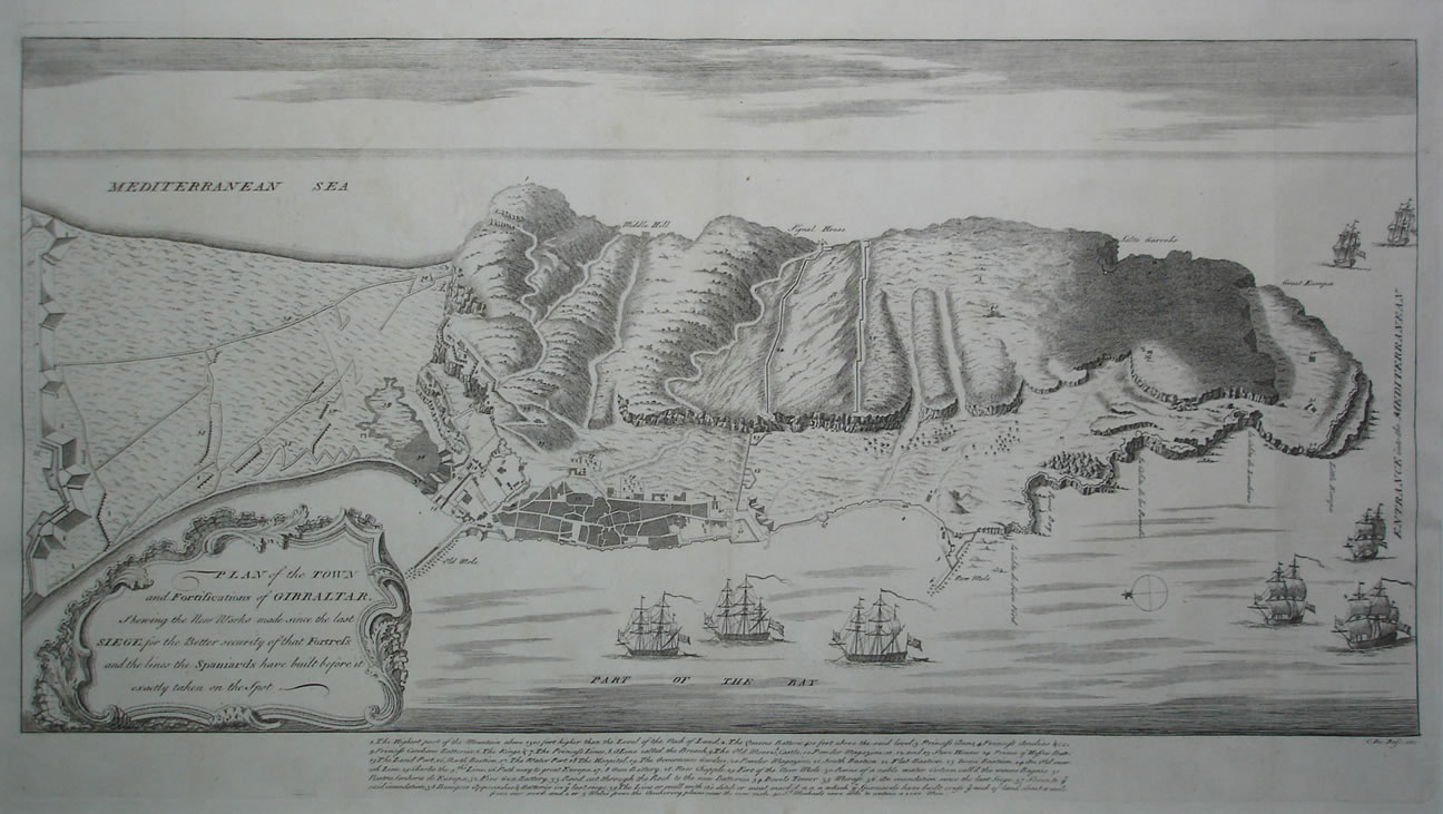
Plano de Gibraltar del siglo XVIII
160.00€
Categorías ESPAÑA: VISTAS Y MAPAS., Gibraltar
Descripción
Plan of the Town and Fortifications of Gibraltar shewing the New Works made since the last SIEGE for the Better security of that Fortress and the lines the Spaniards have built before it exactly taken on the Spot. Mapa calcográfico hacia 1745, Grabado por Claude du Bosc. Publicado en la obra, For Mr Tindals Continuation of Mr Rapin’s History of England. En buen estado de conservación.
Tamaño del plano con texto al fondo 32 x 58,5 cm.
Precio 160 €
Ref 118.25