15.00€
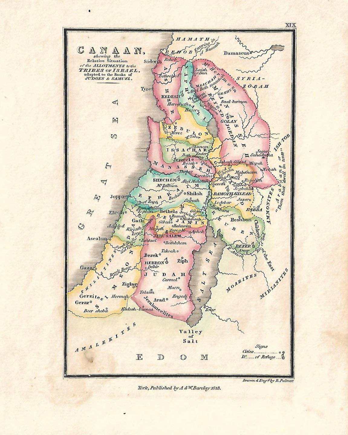
Canaan shewing the relative situation of the allotments to the tribes of Israel. Mapa calcográfico de 1823 dibujado y grabado por R. Palmer. Mapa coloreado a mano. York, Published by A & W Barclay.
Tamaño del mapa: 14,5 x 18.5 cm. Tamaño de la hoja 19 x 23 cm.
Ref 317.1